The Town of Islip is the third largest town in New York State by land area, stretching from the Great South Bay’s south shore communities of Bay Shore, East Islip, and Islip Terrace northward through Brentwood and Central Islip to the Long Island Expressway corridor. This geographic span means Islip’s water damage profile is as diverse as the township itself: south shore communities face the same Great South Bay storm surge and tidal flooding as neighboring Babylon, while the interior communities of Brentwood, Central Islip, and Hauppauge face high water table, aging infrastructure, and inland flooding from the Connetquot and Carll’s rivers and their tributaries.
Islip’s south shore saw significant Sandy impact — bay water flooded south shore streets and coastal homes throughout Bay Shore, Brightwaters, and East Islip during the storm. The town’s mandatory evacuation orders were issued for surge zone residents across the south shore. For the county-level context, see the Long Island Water Damage Restoration Master Guide.
Building Stock Profile: Diverse Era and Type Across the Township
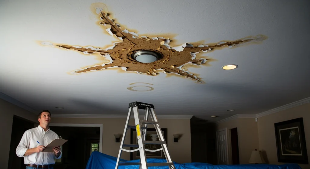
The Town of Islip’s building stock spans more construction eras than most Long Island townships because of its size. Bay Shore and Islip Terrace’s oldest neighborhoods contain 1940s–1950s Cape Cods and ranches with full asbestos and lead paint risk profiles. Brentwood and Central Islip — two of the most populous communities in the township — contain substantial 1960s–1980s Colonial and split-level construction alongside more recent development. The Hauppauge and Ronkonkoma areas contain significant commercial and light industrial construction that creates a commercial water damage restoration demand distinct from the residential focus of the south shore communities.
Brentwood is one of the most densely populated communities in all of Suffolk County, with approximately 60,000 residents and a housing stock that includes a high proportion of rental units and multi-family structures. Multi-family water damage events in Brentwood — affecting multiple units simultaneously from a single pipe failure or roof leak — are operationally more complex than single-family losses and require coordination with property management and multiple displaced tenants.
Environmental Risk: Great South Bay and the Connetquot Watershed
Islip’s south shore faces Great South Bay flooding through the same mechanism as Babylon: tidal surge over low bulkheads, drainage system backflow, and storm surge amplification during nor’easters and tropical events. The Fire Island Inlet at the western edge of Robert Moses State Park is within Islip’s jurisdiction, and the inlet dynamics affect surge patterns throughout Islip’s south shore. Communities like Ocean Beach on Fire Island — entirely within the Town of Islip — face the most extreme flooding exposure of any community in the township, with the barrier island’s complete storm surge exposure during any significant Atlantic event.
The interior water damage risk in Islip is driven by the Connetquot River and Carll’s River watersheds. The Connetquot River State Park Preserve sits in the center of the township, and the river’s headwaters drain a significant portion of central Islip. Heavy rainfall events that overwhelm the Connetquot drainage system produce inland flooding in communities along the river corridor that is entirely distinct from the south shore coastal flooding pattern.
Regulatory Context: Town of Islip
Town of Islip Division of Building, 655 Main Street, Islip, NY 11751; (631) 224-5480. The Town of Islip requires permits for structural restoration work and follows FEMA’s Substantial Damage rules with NYS two-foot freeboard addition. Islip’s south shore communities including Bay Shore and East Islip are in FEMA Zone AE along the bay front. Ocean Beach and Fire Island communities fall under a distinct permit structure due to their barrier island location and Fire Island National Seashore regulatory overlay.
Cost Benchmarks: Water Damage in Islip
- Bay Shore or East Islip south shore — storm surge flooding: $16,000–$40,000 for Category 2–3 scope depending on bay water contamination classification.
- Brentwood or Central Islip multi-family — pipe failure affecting multiple units: $15,000–$45,000 for multi-unit scope requiring tenant displacement coordination, shared wall demolition, and extended drying of shared assemblies.
- Interior Islip (Hauppauge, Ronkonkoma) — commercial water damage: $12,000–$65,000+ for commercial scopes depending on facility type and affected square footage.