The Town of Brookhaven is the largest township in New York State by land area — 531 square miles of south shore coastline, central pine barrens, north shore Sound communities, and everything in between. This geographic range produces Long Island’s most heterogeneous water damage profile: Mastic Beach and Shirley on the south shore, with severe Sandy-era flood histories and recurring Great South Bay surge exposure; Patchogue, the commercial hub of the southern shore; Coram and Medford in the interior, where shallow water table conditions drive basement flooding independent of coastal events; Stony Brook on the Sound shore with its tidal harbor exposure; and Port Jefferson with its North Shore ferry terminal and historic downtown at the base of Port Jefferson Harbor. No single risk profile describes Brookhaven — the township requires community-by-community assessment. For the county-level context, see the Long Island Water Damage Restoration Master Guide.
Mastic-Shirley: Brookhaven’s Highest-Risk South Shore Zone
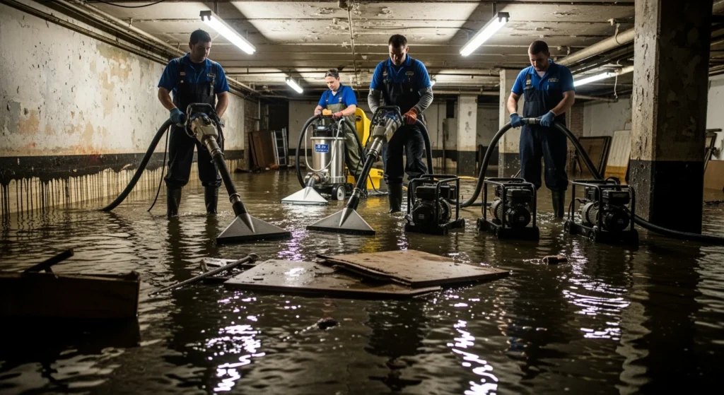
The Mastic Beach and Shirley communities occupy the Mastic Peninsula — a low-lying finger of land between Moriches Bay and Great South Bay that experienced some of the worst Sandy damage in all of Suffolk County. Sandy’s Wikipedia record notes that “coastal damage was heaviest in Mastic and Moriches” on the Suffolk shore east of Fire Island Inlet. The Mastic Peninsula’s housing stock — predominantly 1950s and 1960s small Cape Cods and ranches, some of the most affordable housing on Long Island — sits at elevations that made near-complete inundation possible during Sandy’s surge. Over 200 homes on Fire Island (within Brookhaven’s jurisdiction) were washed away or destroyed. The Mastic-Shirley community has the demographic and structural profile of a high-need post-disaster restoration zone: older, modest housing stock, significant proportion of elderly and fixed-income residents, and continuing flood exposure from Moriches Bay and the Atlantic corridor.
Patchogue and Interior Brookhaven
Patchogue Village — the commercial and cultural center of Brookhaven’s south shore — sits at the mouth of the Patchogue River where it enters Great South Bay. Patchogue experienced Sandy flooding in its lowest-elevation blocks and has ongoing tidal flooding risk from Great South Bay through the river corridor. The village’s historic downtown, with mixed residential and commercial stock dating to the 19th and early 20th centuries, presents the full range of historic building material considerations for any restoration project.
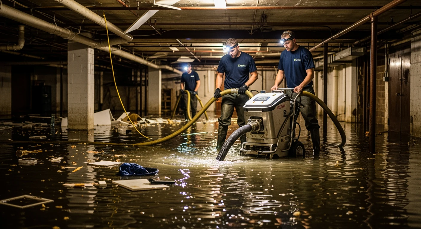
Coram and Medford in central Brookhaven carry a distinct water damage risk driven by the shallow depth to the water table on Long Island’s central outwash plain. Basements in Coram and Medford sit closer to the water table than anywhere else in Brookhaven, and high-water-table events during spring snowmelt and heavy rain produce basement flooding through foundation walls and floor drains that is entirely unrelated to coastal surge. This “hydrostatic uplift” pattern is the primary water damage driver in the interior Brookhaven communities.
North Shore: Stony Brook, Port Jefferson, Mount Sinai
Stony Brook Harbor and Port Jefferson Harbor are enclosed Sound embayments with tidal exposure amplified by harbor geometry. Port Jefferson’s downtown sits at the base of the harbor and experienced tidal flooding during Sandy. The north shore communities carry the older housing stock risk common to Long Island’s Sound shore: pre-war construction in Stony Brook and Setauket, early post-war Colonials throughout Mount Sinai and Miller Place, with the full spectrum of historic building material considerations for any restoration work in structures predating 1980.
Regulatory Context
Town of Brookhaven Building Department, One Independence Hill, Farmingville, NY 11738; (631) 451-6333. Brookhaven’s size means its building department handles a volume of permit applications comparable to small cities. Turnaround times for permit approvals and inspections in Brookhaven can be longer than smaller Nassau townships — restoration project timelines should account for this. Incorporated villages within Brookhaven (Patchogue, Bellport, Lake Grove, and others) have their own building permit authorities.
Cost Benchmarks
- Mastic Beach or Shirley — bay surge flooding, Category 2–3: $18,000–$48,000. Mastic-Shirley’s modest housing stock means total loss scenarios are possible at lower absolute dollar values than higher-value communities, but the per-square-foot restoration cost is comparable across the island.
- Coram or Medford — hydrostatic basement flooding: $7,000–$18,000 for Category 1 high-water-table intrusion scope. Repeated events are common without exterior drainage correction.
- Port Jefferson or Stony Brook historic — pipe failure or tidal flooding: $10,000–$30,000 depending on construction era and historic material complexity.